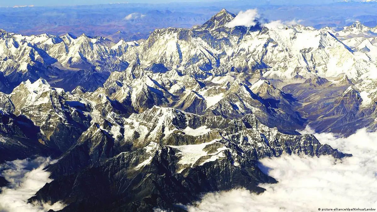
ScienceFlying for science 03:03This browser does not support the video element.Science09/30/2016September 30, 2016Even though many people have scaled Mount Everest, there are still no precise maps of the it. Researchers at the German Aerospace Center have now measured the mountain's surface with an unmanned aircraft.Copy linkAdvertisement